Oleftalsperre
Meine Alarmaa!
Aktueller Füllstand: Pegel | Stauhöhe | Stauinhalt
Diagramm
Füllstand & Tendenz
Zeit
Wert
Tendenz
17.06.26 04:00
457.60 m ü. NN
0
17.06.26 04:00
12.22 Mio. m3
0
17.06.26 04:00
63.32 % *
0
17.06.26 04:00
457.63 m ü. NHN
-0.01
Kategorien
- Ort
- Gewässer
- Nutzungsart
Oleftalsperre
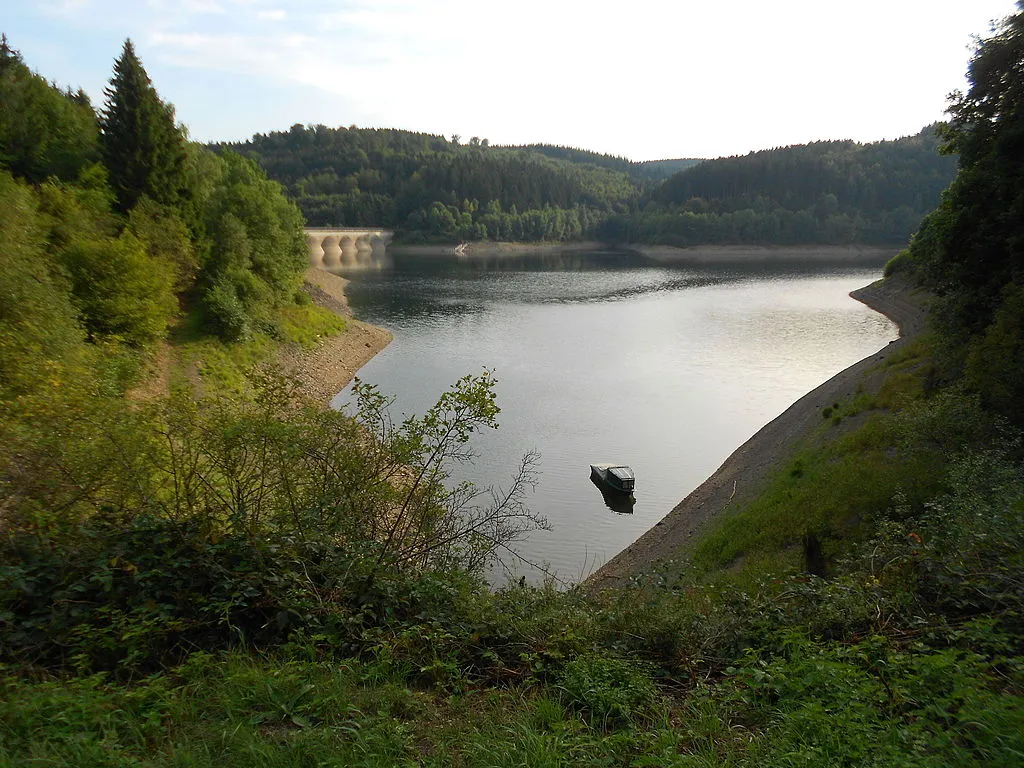
Daten zur Stauanlage
Bauzeit
1955–1959
Kronenhöhe
59 m
Kronenlänge
282 m
Stauseefläche (Vollstau)
1.1 km2
Stauraum (Vollstau)
19.3 Mio. m3
Höhenlage (Stauziel)
465.5 m ü. NN
Geo-Koordinaten
Quellen
- Füllstand
- Wasserverband Eifel-Rur
- Stammdaten
- Wasserverband Eifel-Rur
- Beitragsbild
- https://upload.wikimedia.org/wikipedia/commons/thumb/0/0d/Oleftalsperre_%2815%29.JPG/1024px-Oleftalsperre_%2815%29.JPG
- Wikipedia Artikel
- https://de.wikipedia.org/wiki/Oleftalsperre
- Wikidata Item
- Q2019122


