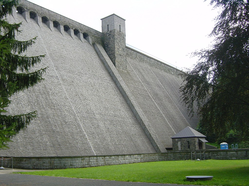
Talsperre Lehnmühle
Meine Alarmaa!
Aktueller Füllstand: Pegel | Stauhöhe | Stauinhalt
Diagramm
Füllstand & Tendenz
Zeit
Wert
Tendenz
26.04.24 22:00
518.80 m ü. NN
-0.02 →
26.04.24 22:00
15.84 Mio. m3
-0.022 →
26.04.24 22:00
72.45 % *
-0.1 →
Kategorien
- Ort
- Gewässer
- Nutzungsart
Quellen
- Füllstand [Mio. m3]
- Landestalsperrenverwaltung des Freistaates Sachsen
- Füllstand [m ü. NN]
- Landestalsperrenverwaltung des Freistaates Sachsen
- Stammdaten
- Landestalsperrenverwaltung des Freistaates Sachsen
- Beitragsbild
- https://upload.wikimedia.org/wikipedia/commons/thumb/8/82/Lehnm%C3%BChletalsperrreAug2007.jpg/1024px-Lehnm%C3%BChletalsperrreAug2007.jpg
- Wikipedia Artikel
- https://de.wikipedia.org/wiki/Talsperre_Lehnm%C3%BChle
- Wikidata Item
- Q2390870


