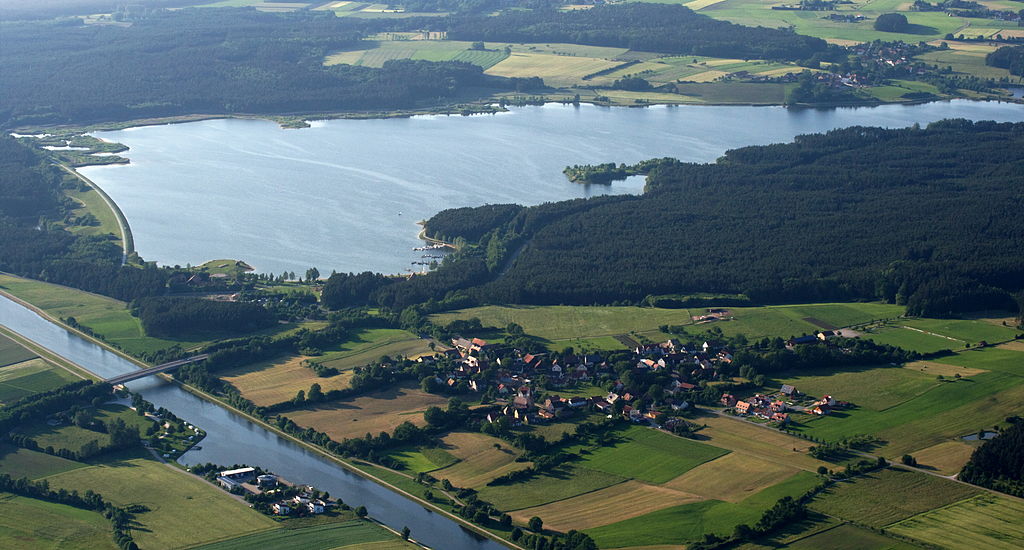
Rothsee (Hauptsperre)
Auch als Hauptsperre Rothsee bekannt.
Meine Alarmaa!
Aktueller Füllstand: Pegel | Stauhöhe | Stauinhalt
Diagramm
Füllstand & Tendenz
Zeit
Wert
Tendenz
28.04.24 11:30
373.35 m ü. NN
0 →
28.04.24 11:30
89.62 % *
0 →
Kategorien
- Ort
- Gewässer
- Nutzungsart
Quellen
- Füllstand
- Gewässerkundlicher Dienst Bayern - Bayerisches Landesamt für Umwelt
- Stammdaten
- Hochwassernachrichtendienst Bayern - Bayerisches Landesamt für Umwelt
- Beitragsbild
- https://upload.wikimedia.org/wikipedia/commons/thumb/9/9b/Luftbild_Rothsee.jpg/1024px-Luftbild_Rothsee.jpg
- Wikipedia Artikel
- https://de.wikipedia.org/wiki/Rothsee
- Wikidata Item
- Q2168782


