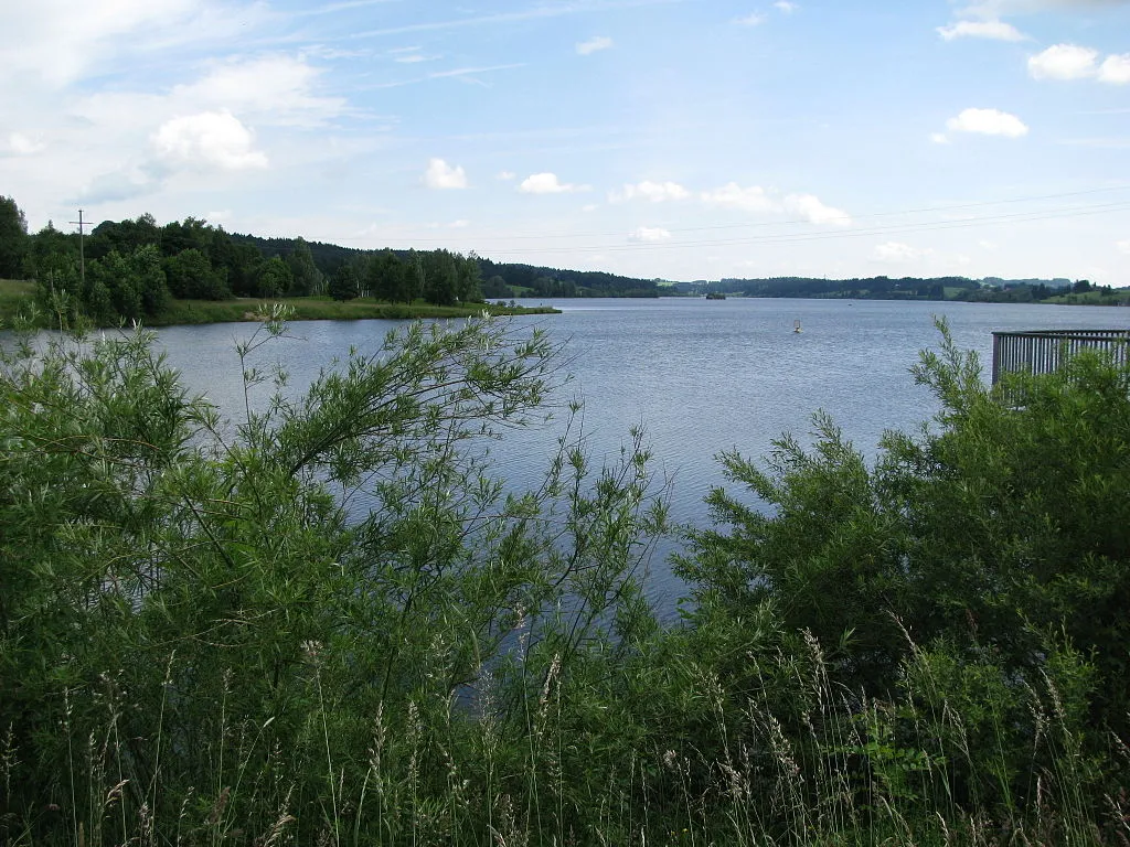
Rottachsee (Rottachspeicher)
Meine Alarmaa!
Aktueller Füllstand: Pegel | Stauhöhe | Stauinhalt
Diagramm
Füllstand & Tendenz
Zeit
Wert
Tendenz
17.06.26 06:00
849.81 m ü. NN
0
17.06.26 06:00
97.21 % *
0
Kategorien
- Ort
- Gewässer
- Nutzungsart
Rottachsee (Rottachspeicher)
Daten zur Stauanlage
Bauzeit
1984–1990
Kronenhöhe
42.7 m
Kronenlänge
190 m
Stauseefläche (Vollstau)
3.13 km2
Stauraum (Vollstau)
28.45 Mio. m3
Höhenlage (Stauziel)
851 m ü. NN
Höhenlage (Vollstau)
851 m ü. NN
Geo-Koordinaten
Quellen
- Füllstand
- Gewässerkundlicher Dienst Bayern - Bayerisches Landesamt für Umwelt
- Stammdaten
- Hochwassernachrichtendienst Bayern - Bayerisches Landesamt für Umwelt
- Beitragsbild
- https://upload.wikimedia.org/wikipedia/commons/thumb/8/81/Rottachsee.JPG/1024px-Rottachsee.JPG
- Wikipedia Artikel
- https://de.wikipedia.org/wiki/Rottachsee
- Wikidata Item
- Q1530843


