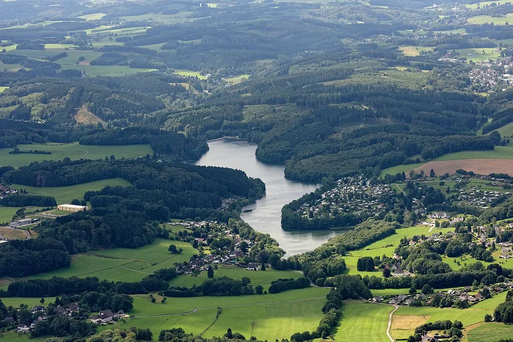
Lingesetalsperre
Meine Alarmaa!
Aktueller Füllstand: Pegel | Stauhöhe | Stauinhalt
Diagramm
Füllstand & Tendenz
Zeit
Wert
Tendenz
16.06.26 20:00
339.39 m ü. NN
0
17.06.26 03:30
339.43 m ü. NHN
0
17.06.26 03:30
2.28 Mio. m3
0
17.06.26 03:30
87.69 % *
0
Kategorien
- Ort
- Gewässer
- Nutzungsart
- Klassifizierung
Lingesetalsperre
Daten zur Stauanlage
Bauzeit
1897–1899
Kronenhöhe
25.5 m
Kronenlänge
183 m
Stauraum (Vollstau)
2.6 Mio. m3
Höhenlage (Stauziel)
340.55 m ü. NN
Geo-Koordinaten
Quellen
- Füllstand [Mio. m3]
- Hochwasserportal des Wupperverbandes
- Füllstand [m ü. NN]
- Wupperverband - SensorWeb
- Füllstand [m ü. NHN]
- Hochwasserportal des Wupperverbandes
- Stammdaten
- Hochwasserportal des Wupperverbandes
- Beitragsbild
- https://upload.wikimedia.org/wikipedia/commons/thumb/f/f1/Lingesetalsperre_FFSW_PK_5023.jpg/1024px-Lingesetalsperre_FFSW_PK_5023.jpg
- Wikipedia Artikel
- https://de.wikipedia.org/wiki/Lingesetalsperre
- Wikidata Item
- Q1826524


