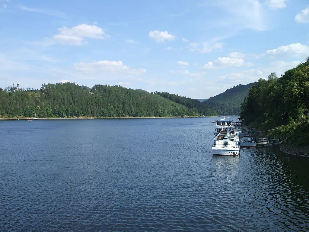
Hohenwartetalsperre
Meine Alarmaa!
Aktueller Füllstand: Pegel | Stauhöhe | Stauinhalt
Diagramm
Füllstand & Tendenz
Zeit
Wert
Tendenz
22.04.26 06:42
303.06 m ü. NN
+0.03
22.04.26 06:42
171.27 Mio. m3
+0.24
22.04.26 06:42
94.63 % *
+0.13
Kategorien
- Ort
- Gewässer
- Nutzungsart
Hohenwartetalsperre
Daten zur Stauanlage
Bauzeit
1936–1942
Kronenhöhe
75 m
Kronenlänge
412 m
Einzugsgebiet
1657 km2
Stauseefläche (Vollstau)
7.3 km2
Stauraum (Vollstau)
180.99 Mio. m3
Höhenlage (Stauziel)
302 m ü. NN
Höhenlage (Vollstau)
304.4 m ü. NN
Geo-Koordinaten
Quellen
- Füllstand
- Hochwassernachrichtenzentrale Thüringen - Thüringer Landesamt für Umwelt, Bergbau und Naturschutz
- Stammdaten
- Vattenfall GmbH
- Beitragsbild
- https://upload.wikimedia.org/wikipedia/commons/thumb/c/c0/Hohenwarte.JPG/1024px-Hohenwarte.JPG
- Wikipedia Artikel
- https://de.wikipedia.org/wiki/Hohenwartetalsperre
- Wikidata Item
- Q46344015


